Drone Services
Looking to capture breathtaking aerial footage or create detailed maps of your property or construction site? Look no further than my drone skill set! As a certified FAA Part 107 drone pilot, I have extensive experience using the latest technology in drone mapping and photography to provide clients with high-quality results.
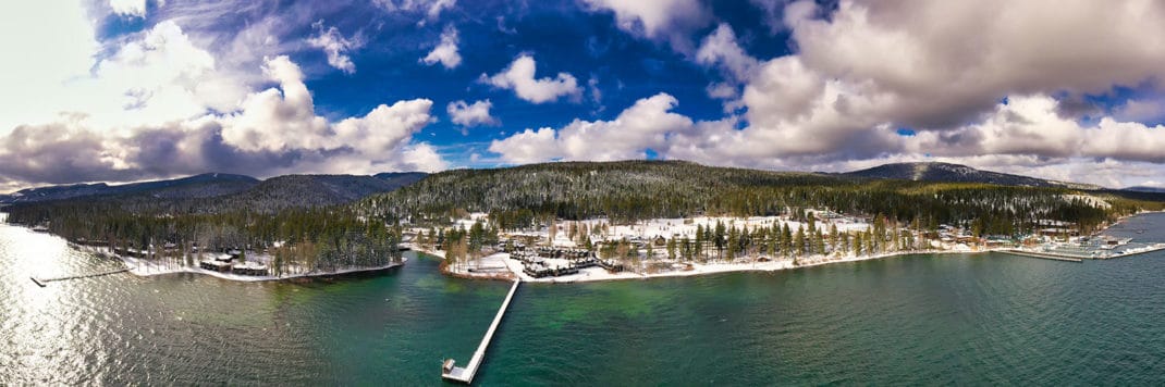
With my drone mapping skills, I can survey landscapes, construction sites, and specific objects to help you achieve your surveying requirements. Using advanced drone mapping technology, I am able to create large orthomosaics (very high resolution imagery), 3D models, and elevation profiles, providing you with a comprehensive view of your property, site or object. Additionally, I specialize in creating stunning 360-degree panoramas that can be used in virtual tours or viewed in VR headsets, as well as providing high-quality aerial video and photography. If you’re looking to take your project to the next level, click below to read more about my drone skill set and how it can benefit you!
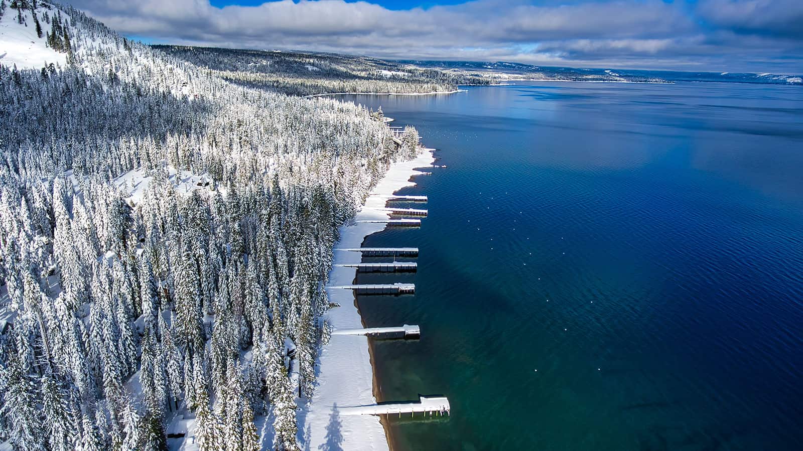
- Aerial Photography and Video.
- 3D Aerial Mapping.
- 360 Panoramas.
- 360 Video
Virtual Tours
- Shoot and Edited 360 Panorama’s
- Basic Tours – No additional Info
- Advanced Tours – Info Boxes, E-Learning, Video Conferencing
- Build Custom VR Version
- Submit your tour to Google Street View